news
Key Decisions Loom for Chattanooga Traffic Relief Efforts
Planners weigh widening I-24 against expanded smart technology and transit options to ease congestion at major interchanges.
How we reported this
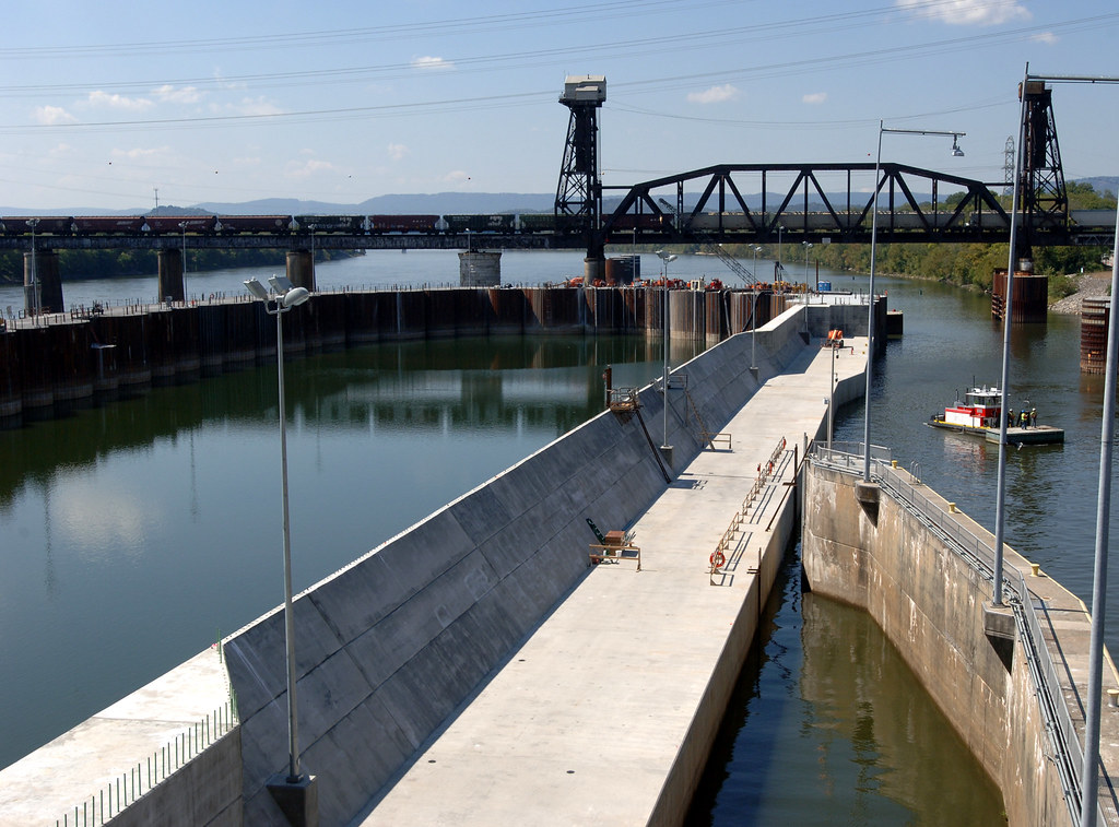
Chattanooga drivers lose an average of 26 hours per year stuck in congestion, the second-worst rate in Tennessee, while more than 20,000 trucks cross the I-75/I-24 interchange each day.
The city sits at the intersection of Interstates I-75, I-24 and I-59, a position that funnels regional freight and commuter traffic through limited corridors. Peak delays concentrate in Area 11 along Shallowford, East Brainerd and Gunbarrel Road, where few alternative routes exist. Friday remains the busiest day, with typical jam delays near two minutes, while Tuesday offers the clearest flow.
Current Upgrades Underway
The Chattanooga Area Regional Transportation Authority runs 15 bus routes plus a free Downtown Electric Shuttle that arrives every 10 to 15 minutes. At the same time the city is installing Gridsmart GS3 Fisheye Camera Vehicle Detection Systems for real-time signal adjustments and has begun placing lidar sensors at 86 downtown intersections through a $4.5 million Federal Highway Administration ATTAIN grant. The Chattanooga Smart Community Collaborative has already secured more than $115 million for related mobility projects, including work with Google Cloud AI for crash analytics.
These steps build on the municipally owned EPB fiber network that links sensors and cameras across a 100-intersection corridor. The city was also chosen as one of only two U.S. participants in the G20 Global Smart Cities Alliance, giving local staff access to best practices on transportation data sharing.
Choices Ahead for State and City Leaders
TDOT has signaled plans to widen I-24 to handle rising truck volumes, yet the scale, timeline and funding split with local partners remain open. Officials must decide whether to pair any widening with further adaptive signal work, expanded CARTA service or continued investment in the Bike Chattanooga system and the 23-mile riverwalk. Coordination between the state widening study and the city’s lidar and camera rollout will determine whether new capacity reduces delays or simply shifts bottlenecks to adjacent streets.
Residents can track project updates through the Chattanooga Regional Planning Agency and TDOT public meetings, where draft designs for I-24 segments are expected to be released for comment in coming months.
References Sourced but Not Limited to:
- tn.gov · Chattanooga Coordinated Plan
- chcrpa.org · Area 11 survey transportation
- chattanooga.gov · Transportation planning
- herechattanooga.com · Chattanooga traffic congestion 2
- chattanooga.gov · Major signal retiming technology upgrade intended smooth commutes
- chattadata.org · Csgb wbhe
- transportation.gov · TN Chattanooga